


Eastern Mediterranean Basin Flood Management Plan Preparation Project

Konya, Antalya, Karaman, Mersin - Turkey
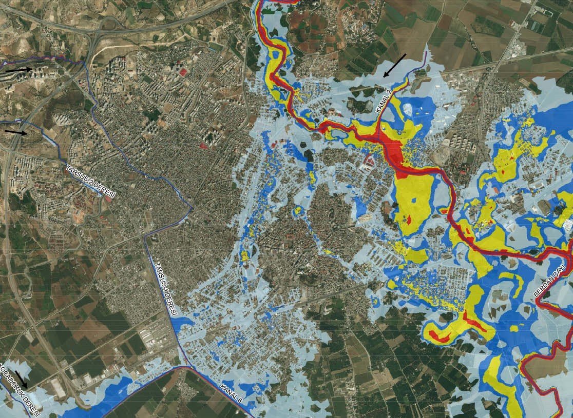
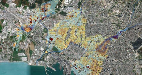
Ministry of Forestry and Water Affairs General Directorate of Water Management The main purpose of this study is to determine and evaluate the flood risks in the Eastern Mediterranean Basin and to reduce the negative effects of floods on human health, environment, cultural heritage and economic activities. With this plan, it is aimed to achieve the following objectives: Reducing the negative effects of floods on human health, environment, cultural heritage, social and economic activities, taking into account all together, Planning of flood management at basin scale, Ensuring that organizations work together in coordination before, during and after the flood, based on institutional powers and responsibilities in flood management, Increasing public awareness about floods, Ensuring more efficient and effective use of financial resources, Clear determination of responsible and relevant institutions and organizations in flood management. Preliminary Assessment for Flood Risk; Determination of flood risk areas by evaluating past floods and potential future floods, Hydrology Studies; Determination of flood recurrence rates in areas with flood risk using hydrological model and synthetic methods, Performance of hydraulic models of Project site, Performance of land investigation for installation of hydraulic mode (determination of Manning roughness coefficient, obtaining information of past floods, etc.), Presentation of the changes water level, velocity, depth, etc. observed through river with hydrodynamic model works (1b/2b), Performance calibration works with model by examining the past flood events, Flood Hazard Maps; preparing maps showing the spread and depth of the water by performing one-dimensional and two-dimensional hydraulic modeling according to various recurrence flow rates in risky areas as a result of the preliminary assessment of flood risk, Flood Risk Maps; Evaluating the risks in terms of hazards using flood hazard maps, grading risky areas and mapping, Flood Management Plan; Determining the work and precautions to be done before, during and after the flood by using flood hazard maps and flood risk maps, Web based application software; Preparation of GIS based application software that can display and query the data produced within the scope of the project.
Client
Partner
-
Financing
Local
Duration of Services
10/2017 - 11/2019
Brief Description of the Project:
Scope of Services :

